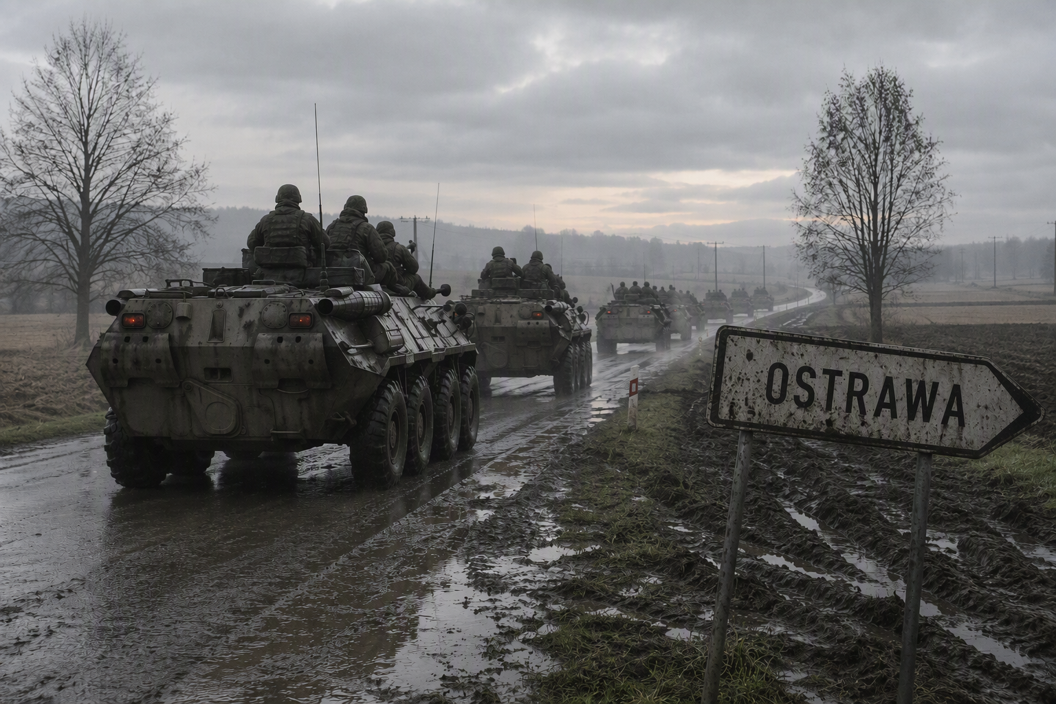
OSINT Briefing Southwest 1

OSINT Briefing // Operational Sector: Małopolska [49.839° N, 19.795° E]
Subject: Movement Anomaly and Signal Disappearance of High-Mobility Element (Sułkowice Corridor)
Classification: Analytical Assessment / Open-Source Telemetry & Spatial Reconstruction
Geospatial & Transit Reconstruction
-
Initial Contact Window: T-24 to T-18 hours.
-
Point of Origin/Observation: Vicinity of Sułkowice, Lesser Poland Voivodeship (Route 956 corridor, connecting Biertowice to Zembrzyce).
-
Negative Reporting Vector: Zero civilian sightings, dashcam intercepts, or municipal sensor captures across adjacent transit nodes:
-
North/East: Myślenice axis (DK7/Zakopianka junction).
-
West: Wadowice / Kalwaria Zebrzydowska transit bottlenecks.
-
South: Sucha Beskidzka approach.
-
The non-appearance of wheeled or light-tracked platforms across these monitored chokepoints within a 12hour operational window rules out continuous operational transit toward eastern or southern logistics hubs. Linear movement along primary arterial routes ceased shortly after passing the Sułkowice municipal boundary.
Terrain & Structural Suitability Assessment
The terrain directly flanking the 956 corridor transitions rapidly from urban fringe to fragmented pre-Carpathian forestry (Beskid Makowski foothills).
-
Elevation & Topography: Contour variance between 320 m and 650 m provides immediate line-of-sight concealment against medium-altitude electro-optical recon.
-
Canopy Density & Masking: Dense mixed woodland patches south of Harbutowice and surrounding the Babica range provide sufficient overhead canopy to degrade multispectral optical tracking from commercial synthetic-aperture radar (SAR) and standard orbital visual passes.
-
Infrastructure Footprint: Several abandoned agricultural facilities, forestry storage yards, and legacy industrial structures north-west of the Pcim-Sułkowice boundary offer hard-cover billets capable of sheltering 6 to 12 light reconnaissance platforms without altering baseline thermal emissions of the sector.
Operational Analysis: Staging vs. Concealment
The sudden evaporation of transit signatures indicates deliberate emission control (EMCON) and movement discipline inconsistent with standard logistics repositioning:
-
Static Assembly Area (AA): High probability the detachment has established a temporary forward operating site or hide position within the forested valleys of the Beskid Makowski. The objective would be pre-positioning without triggering localized civilian telemetry.
-
Signature Suppression: The absence of secondary posts indicates rigid communications hygiene (radio silence, lack of unencrypted cellular usage by personnel).
-
Logistics Vulnerability: Static concealment in non-hardened forest pockets creates operational friction. Off-road access in this sector is heavily constrained by narrow unpaved forestry tracks with low load-bearing capacity; any prolonged precipitation will severely limit rapid egress, locking assets into predictable extraction funnels along narrow valley floors.
Conclusion: The unit remains stationary within a 7 km radius of the Sułkowice intersection, holding in a masked staging posture. Further tracking requires synthetic aperture radar (SAR) coherence change detection to identify ground-surface disturbance along unpaved secondary approaches off Route 956.